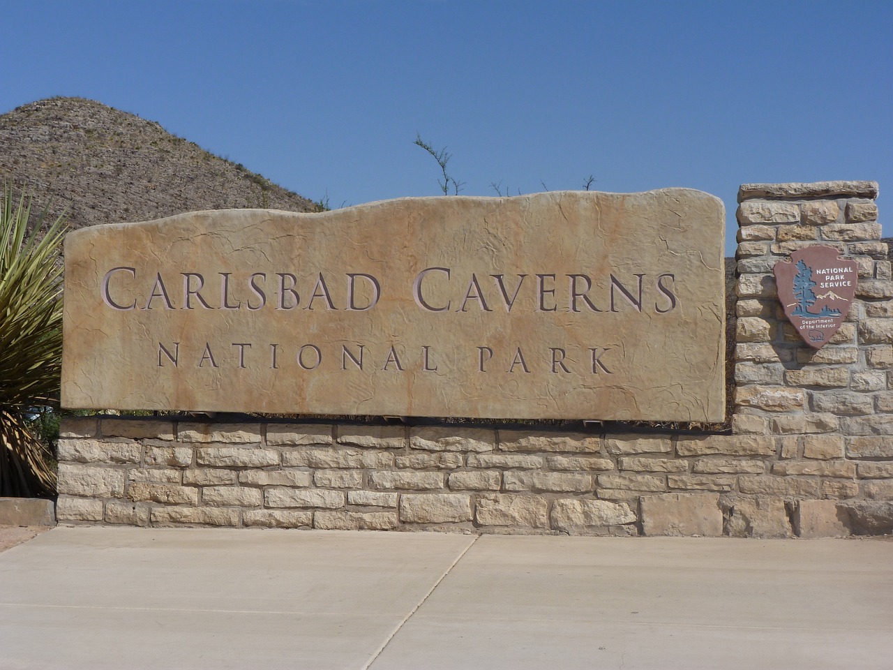
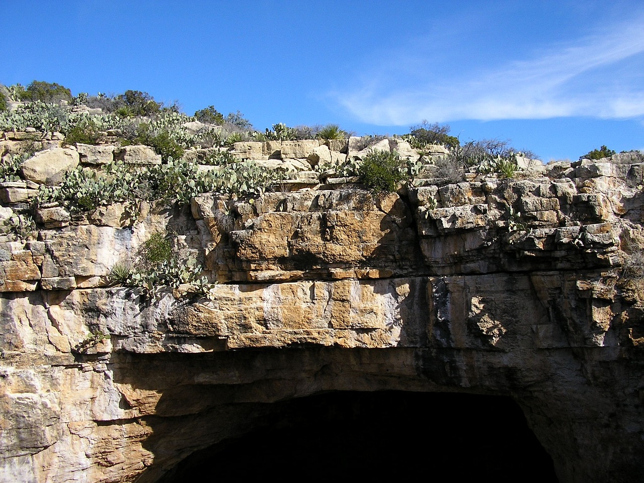
Nestled in the heart of the Chihuahuan Desert in southeastern New Mexico, Carlsbad Caverns National Park is a subterranean wonderland. It features over 119 known caves, including the magnificent Carlsbad Cavern, with its vast underground chambers and intricate formations. These caves were formed when sulfuric acid dissolved the surrounding limestone, creating expansive rooms and surrealistic speleotropes such as stalactites, stalagmites, and helictites. The park's most famous chamber, the Big Room, is one of the largest natural limestone chambers in the world, offering visitors a breathtaking underground experience.
Above ground, the park spans across the desert landscape, featuring deep rocky canyons, high ancient sea ledges, and unique flora and fauna adapted to this rugged environment. In the evening, visitors can witness the spectacular exodus of Brazilian free-tailed bats from the cavern's entrance, a natural phenomenon occurring seasonally from late spring to early fall.
Carlsbad Caverns National Park also plays a crucial role in scientific research, offering insights into speleothem formations, underground ecosystems, and the geological history of the region. With its combination of above- and below-ground marvels, Carlsbad Caverns offers a unique adventure into the hidden depths of the earth, capturing the imagination of all who venture here.
Biome at Carlsbad Caverns National Park
Carlsbad Caverns National Park, located in New Mexico, is a unique and fascinating ecosystem that spans multiple biomes. The park's vast territory encompasses a range of elevations, from 4,000 to 7,000 feet (1,200 to 2,100 meters) above sea level, which supports a variety of biomes. Keep reading to learn more about the biomes at Carlsbad Caverns
Airports Near Carlsbad Caverns National Park
This is a list of the closest airports to the park, if you plan on flying into Carlsbad Caverns click here to read our recommendations.
| Distance to Park | Drive Time | ||
| Cavern City Air Trml Airport | 24.2 miles | 15 mins | Get Directions |
| Artesia Municipal Airport | 97.0 miles | 1 hour 5 mins | Get Directions |
| Lea County Regional Airport | 136.3 miles | 1 hour 21 mins | Get Directions |
| Roswell Air Center Airport | 147.7 miles | 1 hour 30 mins | Get Directions |
| Pecos Municipal Airport | 152.3 miles | 1 hour 48 mins | Get Directions |
| Culberson County Airport | 162.8 miles | 1 hour 34 mins | Get Directions |
| Winkler County Airport | 170.5 miles | 1 hour 58 mins | Get Directions |
| Sierra Blanca Regional Airport | 270.5 miles | 2 hours 51 mins | Get Directions |
Cities Near Carlsbad Caverns National Park
Here are some of the closest cities and towns near the park, take a look at our recommendations for where to stay when visiting Carlsbad Caverns.

| Distance to Park | ||
| Carlsbad | 34.2 miles | Get Directions |
| Artesia | 74.8 miles | Get Directions |
| Jal | 117.5 miles | Get Directions |
| Pecos | 121.8 miles | Get Directions |
| Eunice | 124.0 miles | Get Directions |
| Van Horn | 130.7 miles | Get Directions |
| Kermit | 131.6 miles | Get Directions |
| Lovington | 133.7 miles | Get Directions |
| Roswell | 136.4 miles | Get Directions |
| Hobbs | 136.6 miles | Get Directions |
Carlsbad Caverns National Park TimeZone
The timezone at Carlsbad Caverns is America/Denver, the current time here is:
Sunrise and Sunset Times at Carlsbad Caverns National Park
This table shows the sunrise and sunset times at Carlsbad Caverns for the next 10 days, use it to plan your day around Carlsbad Caverns stunning displays.
|
Date |
Sunrise |
Sunset |
| January 30, 2026 | 06:51 | 17:30 |
| January 31, 2026 | 06:50 | 17:31 |
| February 01, 2026 | 06:49 | 17:32 |
| February 02, 2026 | 06:49 | 17:33 |
| February 03, 2026 | 06:48 | 17:34 |
| February 04, 2026 | 06:47 | 17:35 |
| February 05, 2026 | 06:47 | 17:36 |
| February 06, 2026 | 06:46 | 17:37 |
| February 07, 2026 | 06:45 | 17:38 |
| February 08, 2026 | 06:44 | 17:39 |
Weather at Carlsbad Caverns National Park
This table shows weather averages around the year at Carlsbad Caverns National Park, it provides information on average rainfall, as well as maximum and minimum temperatures. Be sure to consult it when planning your trip.
|
Month |
Temperatures |
Precipitation |
Our Opinion |
|---|---|---|---|
|
Month |
Temperatures |
Precipitation |
Our Opinion |
|
Month |
Temperatures |
Precipitation |
Our Opinion |
|
Month |
Temperatures |
Precipitation |
Our Opinion |
|
Month |
Temperatures |
Precipitation |
Our Opinion |
|
Month |
Temperatures |
Precipitation |
Our Opinion |
|
Month |
Temperatures |
Precipitation |
Our Opinion |
|
Month |
Temperatures |
Precipitation |
Our Opinion |
|
Month |
Temperatures |
Precipitation |
Our Opinion |
|
Month |
Temperatures |
Precipitation |
Our Opinion |
|
Month |
Temperatures |
Precipitation |
Our Opinion |
|
Month |
Temperatures |
Precipitation |
Our Opinion |
| January | 0.4 °C / 15.2 °C | 1.4mm | Bad Weather |
| February | 1.4 °C / 15.8 °C | 0.8mm | Bad Weather |
| March | 5.5 °C / 21.7 °C | 0.0mm | Good Weather |
| April | 9.6 °C / 26.7 °C | 2.9mm | Perfect Weather |
| May | 14.2 °C / 29.7 °C | 3.4mm | Perfect Weather |
| June | 19.8 °C / 35.8 °C | 4.3mm | Bad Weather |
| July | 21.3 °C / 35.0 °C | 1.4mm | Bad Weather |
| August | 20.9 °C / 34.5 °C | 8.3mm | Bad Weather |
| September | 16.6 °C / 30.5 °C | 3.6mm | Perfect Weather |
| October | 10.6 °C / 26.2 °C | 4.7mm | Perfect Weather |
| November | 3.6 °C / 18.0 °C | 1.7mm | Good Weather |
| December | 1.3 °C / 16.2 °C | 1.1mm | Bad Weather |
