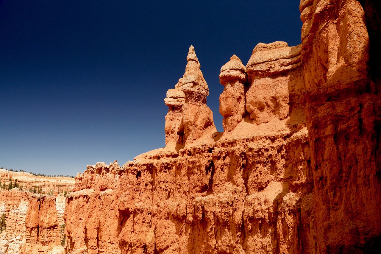
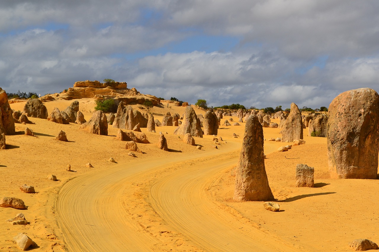
Pinnacles National Park, located in central California, is a geological wonder formed by the erosion of an ancient volcano. The park is named for its distinctive rock formations, towering spires, and massive monoliths that rise abruptly from the surrounding landscape.
Covering over 26,000 acres, Pinnacles is split by the San Andreas Fault into an east and a west division, each offering unique vistas and experiences. The park's complex geology provides critical habitat for diverse plant and animal species, including the California condor, one of the world's rarest birds, which has been reintroduced to the area.
Pinnacles National Park is a paradise for climbers, hikers, and nature lovers, with over 30 miles of trails that navigate through talus caves and along steep canyons. The park's Mediterranean climate supports a range of ecosystems, from oak woodlands to chaparral, grasslands, and riparian corridors, making it a vibrant place for biodiversity and outdoor adventure.
Biome at Pinnacles National Park
Pinnacles National Park, located in California, is known for its unique geological formations and rich biodiversity. The park encompasses a range of elevations and microclimates, supporting a diverse array of biomes. Keep on reading to learn more about the biomes at Pinnacles National Park
Airports Near Pinnacles National Park
This is a list of the closest airports to the park, if you plan on flying into Pinnacles click here to read our recommendations.
| Distance to Park | Drive Time | ||
| Mesa Del Rey Airport | 45.5 miles | 34 mins | Get Directions |
| Hollister Municipal Airport | 53.0 miles | 41 mins | Get Directions |
| Salinas Municipal Airport | 56.0 miles | 44 mins | Get Directions |
| Marina Municipal Airport | 70.3 miles | 59 mins | Get Directions |
| Monterey Regional Airport | 78.1 miles | 1 hour 4 mins | Get Directions |
| Watsonville Municipal Airport | 91.4 miles | 1 hour 12 mins | Get Directions |
| Los Banos Municipal Airport | 115.9 miles | 1 hour 19 mins | Get Directions |
| Reid-Hillview Of Santa Clara County Airport | 117.0 miles | 1 hour 24 mins | Get Directions |
| Norman Y Mineta San Jose International Airport | 128.8 miles | 1 hour 28 mins | Get Directions |
| Paso Robles Municipal Airport | 129.2 miles | 1 hour 27 mins | Get Directions |
Cities Near Pinnacles National Park
Here are some of the closest cities and towns near the park, take a look at our recommendations for where to stay when visiting Pinnacles.

| Distance to Park | ||
| Soledad | 16.1 miles | Get Directions |
| Greenfield | 19.2 miles | Get Directions |
| Gonzales | 25.6 miles | Get Directions |
| King City | 29.9 miles | Get Directions |
| Hollister | 46.7 miles | |
| Salinas | 49.2 miles | Get Directions |
| East Garrison | 54.6 miles | Get Directions |
| Prunedale | 56.5 miles | Get Directions |
| Monterey | 67.0 miles | Get Directions |
| Gilroy | 68.7 miles | Get Directions |
Pinnacles National Park TimeZone
The timezone at Pinnacles is America/Los_Angeles, the current time here is:
Sunrise and Sunset Times at Pinnacles National Park
This table shows the sunrise and sunset times at Pinnacles for the next 10 days, use it to plan your day around Pinnacles stunning displays.
|
Date |
Sunrise |
Sunset |
| February 13, 2026 | 06:52 | 17:44 |
| February 14, 2026 | 06:51 | 17:45 |
| February 15, 2026 | 06:50 | 17:46 |
| February 16, 2026 | 06:49 | 17:47 |
| February 17, 2026 | 06:48 | 17:48 |
| February 18, 2026 | 06:47 | 17:49 |
| February 19, 2026 | 06:45 | 17:50 |
| February 20, 2026 | 06:44 | 17:51 |
| February 21, 2026 | 06:43 | 17:52 |
| February 22, 2026 | 06:42 | 17:53 |
Weather at Pinnacles National Park
This table shows weather averages around the year at Pinnacles National Park, it provides information on average rainfall, as well as maximum and minimum temperatures. Be sure to consult it when planning your trip.
|
Month |
Temperatures |
Precipitation |
Our Opinion |
|---|---|---|---|
|
Month |
Temperatures |
Precipitation |
Our Opinion |
|
Month |
Temperatures |
Precipitation |
Our Opinion |
|
Month |
Temperatures |
Precipitation |
Our Opinion |
|
Month |
Temperatures |
Precipitation |
Our Opinion |
|
Month |
Temperatures |
Precipitation |
Our Opinion |
|
Month |
Temperatures |
Precipitation |
Our Opinion |
|
Month |
Temperatures |
Precipitation |
Our Opinion |
|
Month |
Temperatures |
Precipitation |
Our Opinion |
|
Month |
Temperatures |
Precipitation |
Our Opinion |
|
Month |
Temperatures |
Precipitation |
Our Opinion |
|
Month |
Temperatures |
Precipitation |
Our Opinion |
| January | 5.6 °C / 16.8 °C | 66.9mm | Good Weather |
| February | 6.3 °C / 17.4 °C | 61.5mm | Good Weather |
| March | 7.2 °C / 18.6 °C | 52.3mm | Good Weather |
| April | 8.2 °C / 19.3 °C | 24.0mm | Perfect Weather |
| May | 10.4 °C / 20.2 °C | 9.7mm | Perfect Weather |
| June | 11.8 °C / 21.3 °C | 1.8mm | Perfect Weather |
| July | 13.0 °C / 21.5 °C | 0.1mm | Perfect Weather |
| August | 13.3 °C / 22.5 °C | 0.7mm | Perfect Weather |
| September | 12.5 °C / 23.6 °C | 1.3mm | Perfect Weather |
| October | 10.0 °C / 23.1 °C | 15.7mm | Perfect Weather |
| November | 7.2 °C / 19.8 °C | 33.2mm | Perfect Weather |
| December | 5.2 °C / 16.5 °C | 54.8mm | Good Weather |
