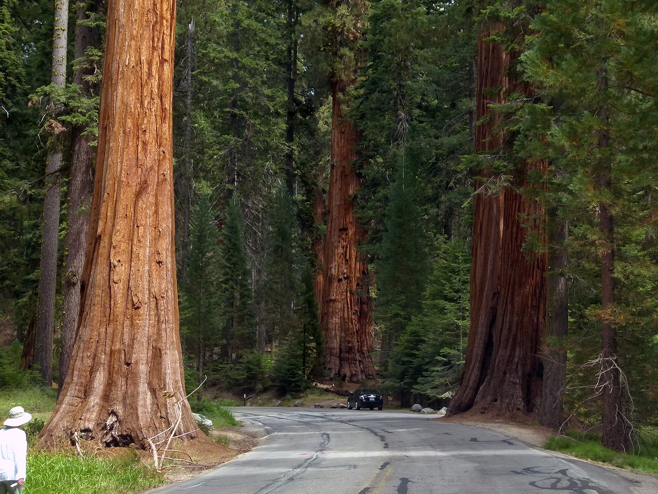
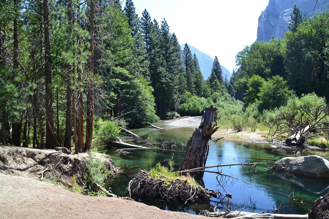
Established in 1890 and located in the southern Sierra Nevada mountains of California, Sequoia National Park is a land of giants. This park, covering over 404,000 acres, is famed for its colossal Sequoia trees, including the General Sherman Tree, the largest tree on Earth by volume.
These ancient trees, some of which are over 3,000 years old, stand as towering monuments to nature's splendor. Sequoia National Park's landscape is a dramatic mix of rugged foothills, deep canyons, and towering mountains, including Mount Whitney, the highest peak in the contiguous United States.
The park is also home to a rich diversity of animal life, including black bears, mountain lions, and bighorn sheep. With over 800 miles of trails, visitors can explore crystal-clear mountain lakes, meander through lush meadows, and trek to high alpine peaks.
Sequoia National Park, together with its neighbor Kings Canyon National Park, offers a sanctuary of extraordinary natural beauty and a refuge for those seeking adventure and tranquility among the giants of the Earth.
Biome at Sequoia National Park
Sequoia National Park, located in California, is renowned for its giant sequoia trees and diverse ecosystem. The park spans a range of elevations from the foothills to the high peaks of the Sierra Nevada, supporting several distinct biomes. Keep on reading to learn more about the biomes at Sequoia National Park
Airports Near Sequoia National Park
This is a list of the closest airports to the park, if you plan on flying into Sequoia click here to read our recommendations.
| Distance to Park | Drive Time | ||
| Visalia Municipal Airport | 65.2 miles | 48 mins | Get Directions |
| Porterville Municipal Airport | 76.4 miles | 1 hour 0 mins | Get Directions |
| Mefford Field | 77.2 miles | 1 hour 3 mins | Get Directions |
| Fresno Yosemite International Airport | 103.3 miles | 1 hour 25 mins | Get Directions |
| Lemoore Nas (Reeves Field) Airport | 111.9 miles | 1 hour 13 mins | Get Directions |
| Fresno Chandler Exec Airport | 125.1 miles | 1 hour 23 mins | Get Directions |
| Meadows Field | 144.5 miles | 1 hour 44 mins | Get Directions |
| Shafter-Minter Field | 146.2 miles | 1 hour 45 mins | Get Directions |
| Madera Municipal Airport | 164.9 miles | 1 hour 44 mins | Get Directions |
| Tehachapi Municipal Airport | 216.8 miles | 2 hours 29 mins | Get Directions |
Cities Near Sequoia National Park
Here are some of the closest cities and towns near the park, take a look at our recommendations for where to stay when visiting Sequoia.

| Distance to Park | ||
| Exeter | 44.0 miles | Get Directions |
| Lindsay | 44.4 miles | Get Directions |
| Farmersville | 49.4 miles | Get Directions |
| Porterville | 50.6 miles | Get Directions |
| Visalia | 55.9 miles | Get Directions |
| Dinuba | 64.5 miles | Get Directions |
| Tulare | 64.7 miles | Get Directions |
| Reedley | 71.4 miles | Get Directions |
| Kingsburg | 78.7 miles | Get Directions |
| Sanger | 84.1 miles | Get Directions |
Sequoia National Park TimeZone
The timezone at Sequoia is America/Los_Angeles, the current time here is:
Sunrise and Sunset Times at Sequoia National Park
This table shows the sunrise and sunset times at Sequoia for the next 10 days, use it to plan your day around Sequoia stunning displays.
|
Date |
Sunrise |
Sunset |
| January 16, 2026 | 07:03 | 17:05 |
| January 17, 2026 | 07:03 | 17:06 |
| January 18, 2026 | 07:02 | 17:07 |
| January 19, 2026 | 07:02 | 17:08 |
| January 20, 2026 | 07:02 | 17:09 |
| January 21, 2026 | 07:01 | 17:10 |
| January 22, 2026 | 07:01 | 17:11 |
| January 23, 2026 | 07:00 | 17:12 |
| January 24, 2026 | 06:59 | 17:13 |
| January 25, 2026 | 06:59 | 17:14 |
Weather at Sequoia National Park
This table shows weather averages around the year at Sequoia National Park, it provides information on average rainfall, as well as maximum and minimum temperatures. Be sure to consult it when planning your trip.
|
Month |
Temperatures |
Precipitation |
Our Opinion |
|---|---|---|---|
|
Month |
Temperatures |
Precipitation |
Our Opinion |
|
Month |
Temperatures |
Precipitation |
Our Opinion |
|
Month |
Temperatures |
Precipitation |
Our Opinion |
|
Month |
Temperatures |
Precipitation |
Our Opinion |
|
Month |
Temperatures |
Precipitation |
Our Opinion |
|
Month |
Temperatures |
Precipitation |
Our Opinion |
|
Month |
Temperatures |
Precipitation |
Our Opinion |
|
Month |
Temperatures |
Precipitation |
Our Opinion |
|
Month |
Temperatures |
Precipitation |
Our Opinion |
|
Month |
Temperatures |
Precipitation |
Our Opinion |
| January | 3.5 °C / 14.9 °C | 44.4mm | Good Weather |
| February | 3.5 °C / 18.2 °C | 37.4mm | Good Weather |
| April | 8.2 °C / 24.4 °C | 6.1mm | Perfect Weather |
| May | 12.2 °C / 29.7 °C | 1.2mm | Perfect Weather |
| June | 15.6 °C / 33.7 °C | 3.1mm | Bad Weather |
| July | 19.4 °C / 37.3 °C | 0.2mm | Bad Weather |
| August | 18.9 °C / 36.3 °C | 6.2mm | Bad Weather |
| September | 16.1 °C / 32.7 °C | 1.7mm | Perfect Weather |
| October | 11.3 °C / 27.1 °C | 17.9mm | Perfect Weather |
| November | 5.3 °C / 19.0 °C | 12.5mm | Good Weather |
| December | 3.6 °C / 13.1 °C | 67.6mm | Good Weather |
