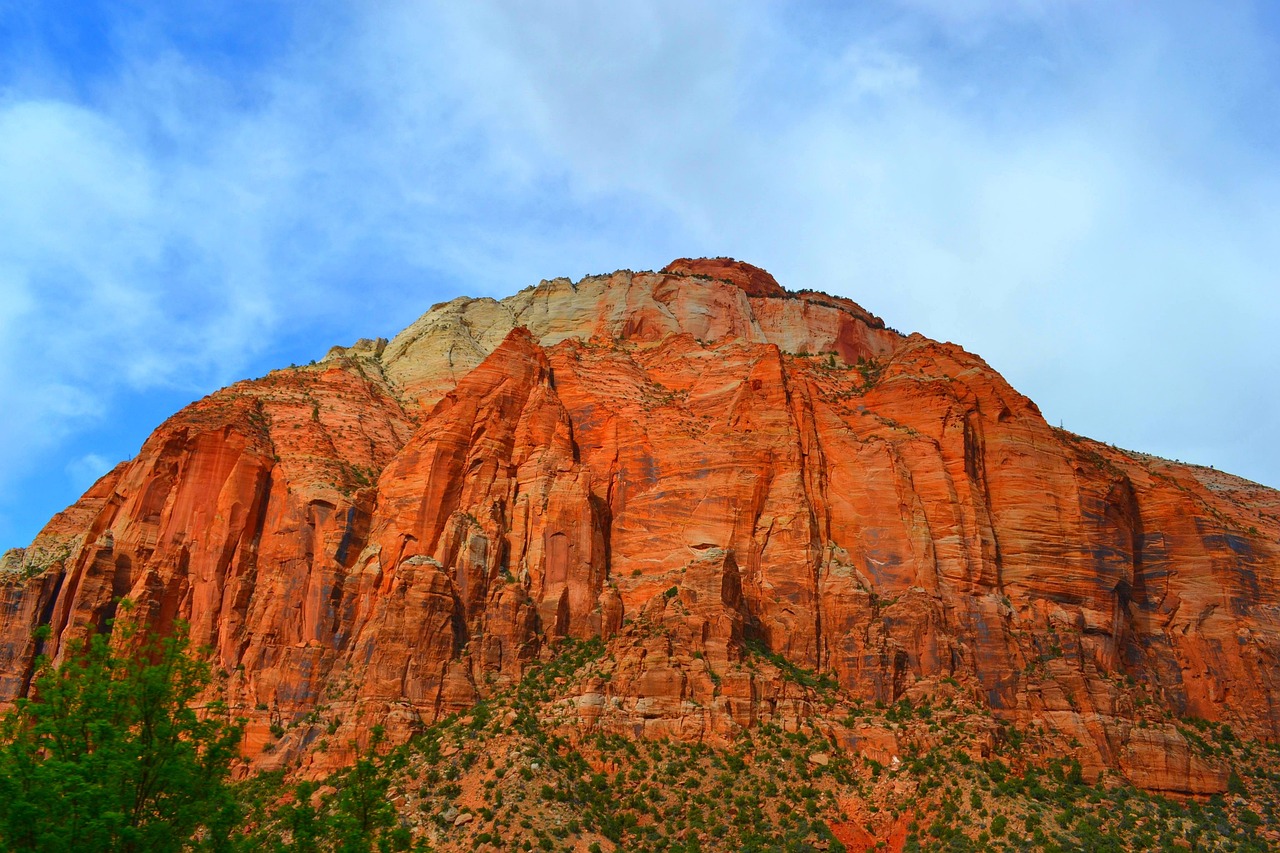
Zion National Park is a sanctuary of massive sandstone cliffs soaring into the sky, deep red canyons, and lush river valleys. Located in southwestern Utah, Zion is distinguished by its stunning rock formations and high plateaus, with the Virgin River running through the heart of the park.
Hiking trails, such as the Narrows and Angel's Landing, offer adventurous paths through its dramatic landscapes, providing unforgettable experiences. The park's unique geography supports diverse ecosystems, from desert flora and fauna to riparian areas teeming with life.
Zion's history is rich, with ancient petroglyphs and historic pioneer buildings offering glimpses into the past. Its natural beauty and cultural significance make Zion a place of reflection and exploration.
Biome at Zion National Park
Zion National Park, located in Utah, is a stunning mosaic of diverse ecosystems that span from deep canyons to high plateaus. The park's elevation ranges from 3,700 to 8,726 feet (1,128 to 2,660 meters), supporting various biomes. Keep on reading to learn more about the biomes at Zion National Park
Airports Near Zion National Park
This is a list of the closest airports to the park, if you plan on flying into Zion click here to read our recommendations.
| Distance to Park | Drive Time | ||
| Cedar City Regional Airport | 34.5 miles | 21 mins | Get Directions |
| Kanab Municipal Airport | 71.3 miles | 1 hour 7 mins | Get Directions |
| St George Regional Airport | 76.5 miles | 1 hour 1 min | Get Directions |
| Bryce Canyon Airport | 130.3 miles | 1 hour 45 mins | Get Directions |
| Milford Municipal/Ben And Judy Briscoe Field | 186.9 miles | 2 hours 20 mins | Get Directions |
| Richfield Municipal Airport | 209.3 miles | 1 hour 50 mins | Get Directions |
| Grand Canyon Ntl Park Airport | 412.6 miles | 4 hours 47 mins | Get Directions |
| Grand Canyon West Airport | 447.0 miles | 4 hours 20 mins | Get Directions |
Cities Near Zion National Park
Here are some of the closest cities and towns near the park, take a look at our recommendations for where to stay when visiting Zion.

| Distance to Park | ||
| Hurricane | 25.4 miles | Get Directions |
| Cedar City | 42.0 miles | Get Directions |
| Washington | 44.7 miles | Get Directions |
| St. George | 52.1 miles | Get Directions |
| Kanab | 54.0 miles | Get Directions |
| Parowan | 63.4 miles | Get Directions |
| Panguitch | 79.4 miles | Get Directions |
| Mesquite | 105.8 miles | Get Directions |
| Beaver | 114.4 miles | Get Directions |
| Panaca | 130.1 miles | Get Directions |
Zion National Park TimeZone
The timezone at Zion is America/Phoenix, the current time here is:
Sunrise and Sunset Times at Zion National Park
This table shows the sunrise and sunset times at Zion for the next 10 days, use it to plan your day around Zion stunning displays.
|
Date |
Sunrise |
Sunset |
| January 30, 2026 | 07:35 | 17:55 |
| January 31, 2026 | 07:34 | 17:57 |
| February 01, 2026 | 07:33 | 17:58 |
| February 02, 2026 | 07:32 | 17:59 |
| February 03, 2026 | 07:31 | 18:00 |
| February 04, 2026 | 07:30 | 18:01 |
| February 05, 2026 | 07:29 | 18:02 |
| February 06, 2026 | 07:28 | 18:03 |
| February 07, 2026 | 07:27 | 18:04 |
| February 08, 2026 | 07:26 | 18:05 |
Weather at Zion National Park
This table shows weather averages around the year at Zion National Park, it provides information on average rainfall, as well as maximum and minimum temperatures. Be sure to consult it when planning your trip.
|
Month |
Temperatures |
Precipitation |
Our Opinion |
|---|---|---|---|
|
Month |
Temperatures |
Precipitation |
Our Opinion |
|
Month |
Temperatures |
Precipitation |
Our Opinion |
|
Month |
Temperatures |
Precipitation |
Our Opinion |
|
Month |
Temperatures |
Precipitation |
Our Opinion |
|
Month |
Temperatures |
Precipitation |
Our Opinion |
|
Month |
Temperatures |
Precipitation |
Our Opinion |
|
Month |
Temperatures |
Precipitation |
Our Opinion |
|
Month |
Temperatures |
Precipitation |
Our Opinion |
|
Month |
Temperatures |
Precipitation |
Our Opinion |
|
Month |
Temperatures |
Precipitation |
Our Opinion |
|
Month |
Temperatures |
Precipitation |
Our Opinion |
| January | -4.9 °C / 10.1 °C | 24.0mm | Bad Weather |
| February | -5.6 °C / 11.6 °C | 23.9mm | Bad Weather |
| March | -0.7 °C / 14.0 °C | 64.8mm | Bad Weather |
| April | 2.3 °C / 21.7 °C | 5.3mm | Good Weather |
| May | 6.0 °C / 27.7 °C | 2.8mm | Perfect Weather |
| June | 11.3 °C / 33.1 °C | 10.5mm | Bad Weather |
| July | 16.6 °C / 36.6 °C | 37.0mm | Bad Weather |
| August | 16.3 °C / 34.9 °C | 83.0mm | Bad Weather |
| September | 11.7 °C / 30.4 °C | 41.9mm | Perfect Weather |
| October | 4.5 °C / 23.4 °C | 27.0mm | Good Weather |
| November | -1.9 °C / 16.2 °C | 17.5mm | Bad Weather |
| December | -5.0 °C / 10.0 °C | 44.4mm | Bad Weather |
