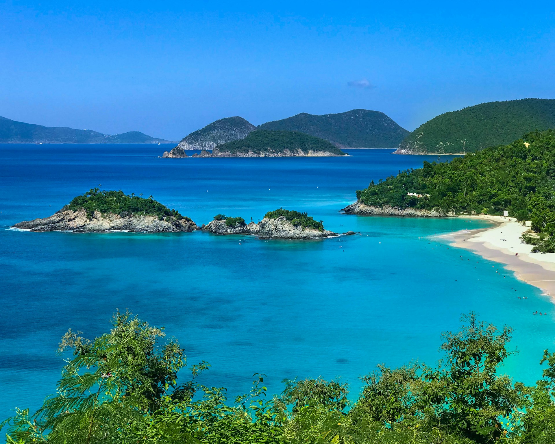
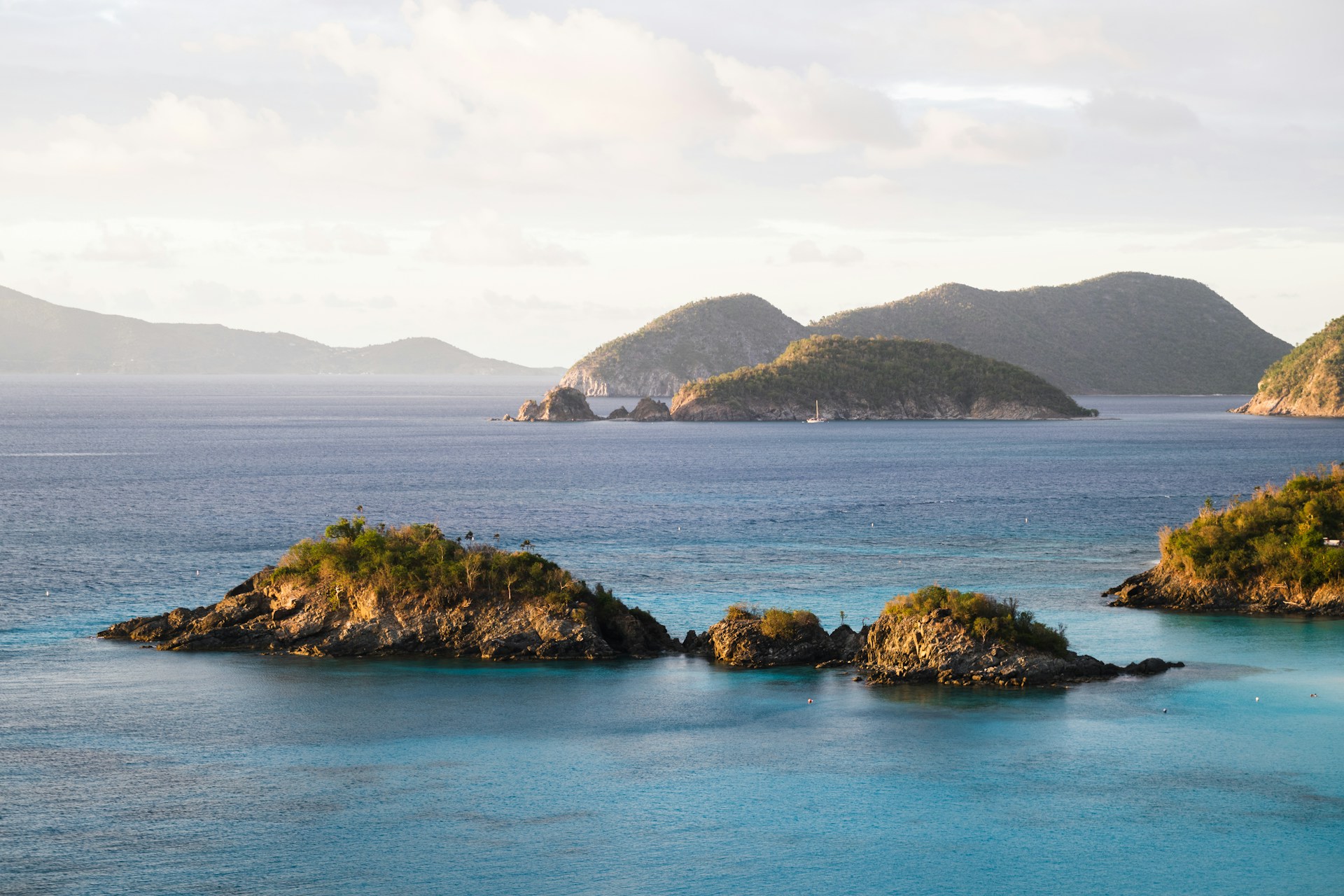
Virgin Islands National Park, encompassing over half of St. John Island and nearly all of Hassel Island in the U.S. Virgin Islands, is a tropical marvel distinguished by its pristine beaches, coral reefs, and historical ruins. The park is renowned for the breathtaking Trunk Bay, often listed among the world's most beautiful beaches, and its underwater snorkeling trail.
The park's diverse ecosystems include lush mangrove forests, seagrass beds, and tropical rainforests, which are home to a rich variety of marine life, such as sea turtles and colorful fish, as well as terrestrial fauna, including the unique Virgin Islands boa and various tropical bird species.
Virgin Islands National Park also protects significant archaeological and historical sites, from ancient petroglyphs carved by the Taino people to the remnants of colonial sugar plantations, offering a profound insight into the area's complex cultural heritage.
This unique blend of natural beauty and historical depth provides visitors with an unparalleled opportunity to explore the rich biodiversity and storied past of the Caribbean.
Biome at Virgin Islands National Park
Virgin Islands National Park, located on the island of St. John in the Caribbean, features a variety of biomes that reflect its tropical climate and unique geographical setting. The park's range of elevations and coastal influences creates distinct ecological zones. Keep on reading to learn more about the biomes at Virgin Islands National Park
Airports Near Virgin Islands National Park
This is a list of the closest airports to the park, if you plan on flying into Virgin Islands click here to read our recommendations.
| Distance to Park | Drive Time | ||
| Cyril E King Airport | 22.2 miles | 1 hour 7 mins | Get Directions |
| Virgin Gorda Airport | 44.5 miles | 4 hours 44 mins | Get Directions |
| Terrance B. Lettsome International Airport | 47.9 miles | 4 hours 18 mins | Get Directions |
| Benjamin Rivera Noriega Airport | 60.6 miles | ||
| Henry E Rohlsen Airport | 70.3 miles | ||
| Antonio Rivera Rodriguez Airport | 83.5 miles | ||
| Captain Auguste George Airport | 90.1 miles | 9 hours 10 mins | Get Directions |
| Jose Aponte De La Torre Airport | 96.9 miles | ||
| Luis Munoz Marin International Airport | 134.8 miles | ||
| Fernando Luis Ribas Dominicci Airport | 145.1 miles |
Cities Near Virgin Islands National Park
Here are some of the closest cities and towns near the park, take a look at our recommendations for where to stay when visiting Virgin Islands.

| Distance to Park | ||
| Coral Harbour | 2.0 miles | |
| Cruz Bay | 6.8 miles | Get Directions |
| Road Town | 15.5 miles | |
| Anna's Retreat | 16.8 miles | Get Directions |
| Charlotte Amalie | 21.4 miles | Get Directions |
| East End | 22.1 miles | |
| Little Mountain | 23.1 miles | |
| Charlotte Amalie West | 24.2 miles | Get Directions |
| Spanish Town | 33.7 miles | Get Directions |
| Culebra | 60.3 miles |
Virgin Islands National Park TimeZone
The timezone at Virgin Islands is America/Tortola, the current time here is:
Sunrise and Sunset Times at Virgin Islands National Park
This table shows the sunrise and sunset times at Virgin Islands for the next 10 days, use it to plan your day around Virgin Islands stunning displays.
|
Date |
Sunrise |
Sunset |
| January 30, 2026 | 06:51 | 18:13 |
| January 31, 2026 | 06:51 | 18:13 |
| February 01, 2026 | 06:50 | 18:14 |
| February 02, 2026 | 06:50 | 18:14 |
| February 03, 2026 | 06:50 | 18:15 |
| February 04, 2026 | 06:49 | 18:15 |
| February 05, 2026 | 06:49 | 18:16 |
| February 06, 2026 | 06:49 | 18:16 |
| February 07, 2026 | 06:48 | 18:17 |
| February 08, 2026 | 06:48 | 18:17 |
Weather at Virgin Islands National Park
This table shows weather averages around the year at Virgin Islands National Park, it provides information on average rainfall, as well as maximum and minimum temperatures. Be sure to consult it when planning your trip.
|
Month |
Temperatures |
Precipitation |
Our Opinion |
|---|---|---|---|
|
Month |
Temperatures |
Precipitation |
Our Opinion |
|
Month |
Temperatures |
Precipitation |
Our Opinion |
|
Month |
Temperatures |
Precipitation |
Our Opinion |
|
Month |
Temperatures |
Precipitation |
Our Opinion |
|
Month |
Temperatures |
Precipitation |
Our Opinion |
|
Month |
Temperatures |
Precipitation |
Our Opinion |
|
Month |
Temperatures |
Precipitation |
Our Opinion |
|
Month |
Temperatures |
Precipitation |
Our Opinion |
|
Month |
Temperatures |
Precipitation |
Our Opinion |
|
Month |
Temperatures |
Precipitation |
Our Opinion |
|
Month |
Temperatures |
Precipitation |
Our Opinion |
| January | 23.6 °C / 28.6 °C | 16.8mm | Perfect Weather |
| February | 23.5 °C / 28.5 °C | 3.7mm | Perfect Weather |
| March | 23.6 °C / 28.5 °C | 4.1mm | Perfect Weather |
| April | 24.3 °C / 29.0 °C | 12.1mm | Perfect Weather |
| May | 25.3 °C / 30.0 °C | 13.8mm | Perfect Weather |
| June | 26.3 °C / 30.8 °C | 19.6mm | Perfect Weather |
| July | 26.7 °C / 31.1 °C | 33.0mm | Perfect Weather |
| August | 26.6 °C / 31.5 °C | 24.7mm | Perfect Weather |
| September | 26.3 °C / 31.4 °C | 50.1mm | Perfect Weather |
| October | 25.8 °C / 30.9 °C | 68.8mm | Good Weather |
| November | 25.3 °C / 29.9 °C | 33.9mm | Perfect Weather |
| December | 24.2 °C / 29.2 °C | 9.5mm | Perfect Weather |
